WATER & INFRASTRUCTURE
Track every water point from planning to handover.
Manage borehole, water point, and infrastructure projects with field data captured directly from the source.
The challenges you're managing
Field teams collect data on paper, and it arrives late — or not at all.
It's hard to prove a water point was actually completed and functional.
Community engagement records are scattered or missing.
Reporting to oversight bodies takes far longer than it should.
Field data, from source to system
Water point forms, GPS coordinates, and photos sync directly from the field, even offline.
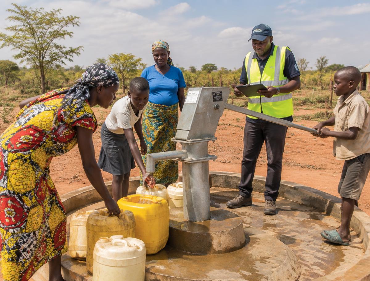
Proof of completion, built in
GPS-tagged photos and geofenced submissions confirm work was done exactly where it should be.
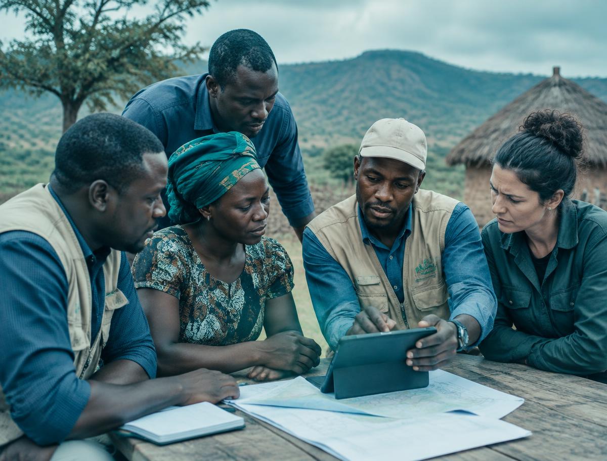
Community engagement, on record
Capture community meetings and feedback as part of the project record, not a separate process.
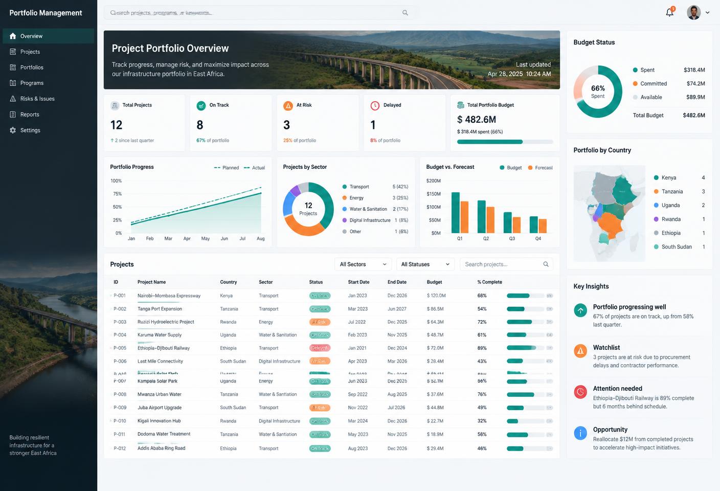
Oversight-ready reporting
Generate progress and completion reports straight from verified field data.
What you get, out of the box
Offline-first field data collection
GPS-tagged photo evidence
Geofencing & location verification
Community engagement forms
Public accountability gallery
Custom reporting
Document store
Portfolio mapping
Ready-made for how water projects actually run
Start from the Water Point / Borehole project template — pre-loaded phases, field forms, and completion evidence requirements.
PILOT PROGRAMME
Now onboarding pilot water partners across Kenya
We're working with a select group of organizations to shape Aurora ahead of wider availability.
Apply for Pilot AccessSee Aurora for Water & Infrastructure
Get a walkthrough built around your water points, field teams, and reporting.